Fillable Printable Form 5182
Fillable Printable Form 5182
Form 5182
Page 1 of 9
INSTRUCTIONS:
APPLICATION FOR AUTHORIZATION TO DISCHARGE DREDGED
OR FILL MATERIAL TO ISOLATED WETLANDS AND/OR
WATERS OF THE STATE
State Form 51821 (R2 / 11-15)
Indiana Department of Environmental Management
1. Read the instruction sheet before filling out this form.
2. You must complete all applicable sections of this form
1. Applicant Information 2. Agent Information
Name of Applicant
Name of Agent
Mailing address (Street/ PO Box/ Rural Route, City, State, ZIP Code)
Mailing address (Street/ PO Box/ Rural Route, City, State, ZIP Code)
Daytime Telephone Number
Daytime Telephone Number
Fax Number
Fax Number
E-mail address (optional)
E-mail address (optional)
Contact person (required)
Contact person
3. Project / Tract Location
County
Nearest city or town
U.S.G.S. Quadrangle map name (Topographic map)
Project street address (if applicable)
Quarter
Section
Township
Range
Type of aquatic resource(s) to be impacted (Attach Worksheet One.)
Project name or title (if applicable)
Other location descriptions or driving directions
4. Project Purpose and Description (Use additional sheet(s) if required.)
Has any construction been started?
Yes No
Anticipated start date (month, day, year)
If yes, how much work is completed?
Purpose of project and overview of activities
Reset Form

Page 2 of 9
5. Avoidance, Minimization, and Mitigation Information: Applicants must answer all of the following questions
(Use additional sheet(s) if necessary - provide a detailed response to all applicable questions.)
A. For projects with Class II isolated wetlands –
1. Is there a reasonable alternative to the proposed activity?
2. Is the proposed activity reasonably necessary or appropriate?
B. For projects with Class III wetlands, adjacent wetlands, and/or streams, rivers, lakes or other water bodies –
1. Is there a practicable alternative to the proposed activity?
2. Have practicable and appropriate steps to minimize impacts to water resources been taken?
Describe all compensatory mitigation required for unavoidable impacts.
6. Drawing / Plan Requirements (App licants must provide the following.)
a. Top/aerial/overhead views of the project site showing existing conditions and proposed construction.
b. Cross sectional view of areas of fill or alterations to streams and other wate
rs.
c.
North arrow, scale, property boun
daries.
d.
Include wetland delineation boundary (if applicable). Label all wetlands (jurisdictional, isolated and exempt) as I-1, I-2, I-3, etc. and the
mitigation
areas as M-1, M
-2, etc.
e.
Location of all surface waters, including wetlands, erosion control measures, existing and proposed structures, fill and exc
avation locations,
disposal area for
excavated material, including quantities, and wetland mitigation site (if applicable).
f.
Approximate water depths and bottom configurations (if applicable)
.
7. Supplemental Application Materials (Applicants must provide the following.)
a. A wetland delineation of all wetlands on the project site (for projects with wetland impacts).
b. At least three photographs of the project site. Indicate the photo locations on the project plans.
c.
If isolated wetlands are present, a letter from the C orps of Engineers verifying this statement.
d.
Wetland mitigation plan and monitoring report.
e.
Classification of all isolated wetlands on the tract (if isolated wetlands are present onsite)
.
f.
Copies of all applicable local permits and/or resolutions pertaining to the project or trac
t.
g. Tract
history (see instructions)
.
8. Additional information that MAY be required (IDEM will notify you if needed.)
a. Erosion control and/or storm water management plans.
b. Sediment analys
is.
c.
Species surveys for fish, mussels, plants and threatened or endang
ered species.
d.
Stream habitat assessment.
e.
Any other information IDEM deems necessary to review the propos
ed project.

Page 3 of 9
9. Permitting Requirements
a. Does this project require the issuance of a Department of the Army Section 404 Permit from the US Army Corps of Engineers? Yes No
If no, you do not need to answer Part b.
b. Have you applied for an Army Corps of Engineers Section 404 per mit? Yes No
If yes, please supply the Corps of Engineers ID Number, the Corps of Engineers District, the project manager, and a copy of any correspondence with
the Corps. If no, contact the Army Corps of Engineers regarding the possible need for a permit application.
c.
Have you applied for, received, or been denied a permit from the Department of Natural Resources for this project?
Yes No
Please give the permit name, permit number, and date of application, issuance or denial.
d. Have you applied for, received, or been denied any other federal, state, or local permits, variances, licenses, or certifications for this project?
Yes No
Please give the permit name, agency from which it was obtained, permit number, and date of issuance or denial.
10. Ad
j
oinin
g
Propert
y
Owners and
A
ddresses
List the names and addresses of landowners adjacent to the property on which your project is located and the names and addresses of other
persons (or entities) potentially affected by your project. Use additional sheet(s) if required.
Name
Name
Address (number and street)
Address (number and street)
City
State
ZIP Code
City
State
ZIP Code
Name
Name
Address (number and street)
Address (number and street)
City
State
ZIP Code
City
State
ZIP Code
Name
Name
Address (number and street)
Address (number and street)
City
State
ZIP Code
City
State
ZIP Code
Name
Name
Address (number and street)
Address (number and street)
City
State
ZIP Code
City
State
ZIP Code
Name
Name
Address (number and street)
Address (number and street)
City
State
ZIP Code
City
State
ZIP Code
Name
Name
Address (number and street)
Address (number and street)
City
State
ZIP Code
City
State
ZIP Code

Page 4 of 9
11. Signature - Statement of Affirmation
I certify that I am familiar with the information contained in this application and, to the best of my knowledge and belief, such information is true and
accurate. I certify that I have the authority to undertake and will undertake the activities as described in this application. I am aware that there are
penalties for submitting false information. I understand that any changes in project design subsequent to IDEM's granting of au thorization to
discharge to a water of the state are not authorized and I may be subject to civil and criminal penalties for proceeding without proper authorization. I
agree to allow representatives of the IDEM to enter and inspect the project site. I understand that the granting of other permits by local, state, or
federal agencies does not release me from the requirement of obtaining the authorization requested herein before commencing the project.
Applicant’s Signature: Date:
(mm/dd/yyyy)
Print Name:
Title:
Page 5 of 9
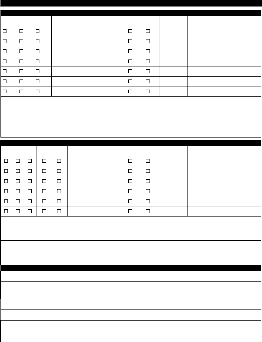
Worksheet – Summary of Onsite Water Resources and Project I m pacts
A. Jurisdictional Wetlands (Existing Conditio ns) Jurisdictional Wetlands (Propos ed Impacts)
Wetland Type Size of wetland (acreage)
To be
Impacted?
Acreage Fill quantity (cys) ATF
EM SS FO
Yes No
EM SS FO
Yes No
EM SS FO
Yes No
EM SS FO
Yes No
EM SS FO
Yes No
EM SS FO
Yes No
EM SS FO
Yes No
Describe the type and composition of fill material to be placed in wetlands on the project site:
Describe the type and composition and quantity (cubic yards) of material proposed to be dredged or excavated from wetlands on the project site:
B. Isolated Wetlands
(
Existin
g
Conditions
)
Isolated Wetlands
(
Proposed Impacts
)
Wetland Class Type Size of wetland (acreage)
To be
Impacted?
Acreage Fill quantity (cys) ATF
1 2 3 NF F
Yes No
1 2 3 NF F
Yes No
1 2 3 NF F
Yes No
1 2 3 NF F
Yes No
1 2 3 NF F
Yes No
1 2 3 NF F
Yes No
Describe the type and composition of fill material to be placed in isolated wetlands on the project site:
Describe the ty pe and compo sition and qu antity (cubic yards) of mater ial propo sed to be dr edg ed or ex cava ted f rom isolat ed wet lands on t he pro ject site:
C. Bridges and Stream Crossings - p rovide the following information for EACH structure (Use additional sheet(s) if required.)
Stream name
Description of impacts
Length of upstream bank impacts:
Left side:
Right side:
Length of downstream bank impacts:
Left side:
Right side:
Bank protection fill placed below the Ordinary High Water Mark:
Volume per running foot:
Bank protection fill placed below the Ordinary High Water Mark:
Area of coverage:
Page 6 of 9
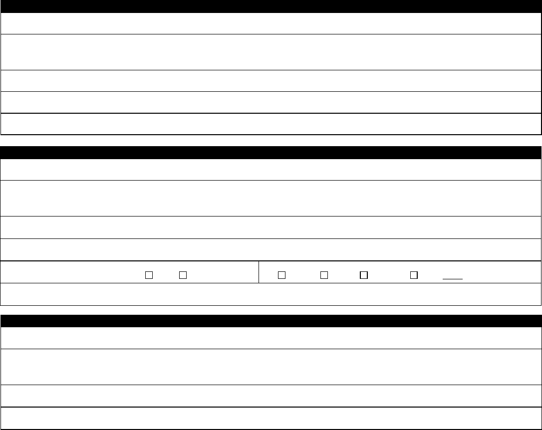
D. Bank Stabilization – provide the following information for EACH segment (Use additional sheet(s) if required.)
Water body name
Description of impacts
Length of shoreline or bank protection
Volume (cubic yards) of bank protection fill placed below the Ordinary High Water Mark per running foot
Area (square feet) of bank protection fill placed below the Ordinary High Water Mark
E. Stream Relocation
Water body name
Description of impacts
Length of existing channel to be relocated (linear feet)
Length of new channel to be constructed (linear feet)
Existing channel to be backfilled?
Yes No
Type of relocation
Piping Open Channel Other:
Type of fill and volume (cubic yards)
F. Open Water Fill
Water body name
Description of impacts
Area of water body to be filled (acres)
Type of fill and volume (cubic yards)

Page 7 of 9
Notes and Instructions for
Authorization to Discharge Dredged or Fill Material to a State Regulated Wetland and/or
Waters of the State Permit Application Form and Worksheet
Note to applicants:
This form is to be used by all persons who intend to discharge dredged or fill materials into wetlands, isolated wetlands, or any other water body regulated
under state and federal law. Specifically, this form is to be used for the following:
1. Application for Section 401 Water Quality Certification for any project not covered by the Indiana Regional General Permit
2. Application for a State Regulated Wetland Permit authorized under HEA 1798 and HEA 1277, excluding any activities authorized under any of the
State Regulated Wetland General Permits
Consult the Office of Water Quality Web site for information on the types of authorizations and requirements for projects regulated under these laws.
http://www.in.gov/idem/wetlands/index.htm
Do not submit this form until you are familiar with the various authorizations and proper forms for obtaining these authorizations. An application submitted on the
incorrect form may result in delays in processing.
Applicants should also contact the Indiana Department of Natural Resources (DNR) regarding potential permit requirements associated with construction in a
floodway or a public freshwater lake. You can reach the DNR Division of Water at (317) 232-4160 or toll free at (877) WATER-55.
Address all applications or questions to:
Indiana Department of Environmental Management
Office of Water Quality
Section 401 Water Quality Certification/State Isolated Wetlands Program
100 North Senate Ave.
Indianapolis, Indiana 46204
Telephone: (800) 451-6027 or (317) 233-8488
APPLICATION
Print clearly or type.
Attach additional 8.5" x 11" sheets as necessary.
Note: Some wetland activities may impact both U.S. navigable waters and state regulated isolated wetlands. In those situations, the project will require a
Section 401 Water Quality Certification and Section 404 U.S. Corps of Engineers permit AND approval under the new State Isolated Wetland Regulatory
Program. When IDEM receives an application that involves an activity that may impact both intrastate navigable waters and a state regulated wetland, current
state law requires that we evaluate each activity using different authorities. IDEM will, at the request of an applicant, evaluate a project with multi-jurisdictional
wetlands under the Section 401 certification framework and will provide one authorization for the project, applying the state regulated isolated wetlands law and
federal Clean Water Act Section 401 authorities. If an applicant prefers that all IDEM approvals occur within one streamlined review process, a separate letter
specifically requesting a combined review of the entire project should be submitted concurrently with the application.
Block 1 - Applicant Information
Provide your name, address, and telephone number. You MUST provide a contact name. For complex projects or projects with multiple contractors and
responsible parties, designation of a single point of contact will speed up the review process and enable more timely responses to requests for information.
Block 2 - Agent Infor mati on
If you choose to be represented by an agent, provide the agent’s address and telephone information. You are not required to have an agent.
Block 3 - Project Location
Provide specific information relating to the location of your proposed project. Provide accurate maps depicting the project location. Try to keep detail on maps
to a minimum, focusing instead on the location of structures and associated water bodies. Consult the USGS Quadrangle maps for information on the quarter,
section, township and range of the project. IDEM may require that you submit full size plans to supplement the 8 1/2" by 11" map sheets if the project is large
or complex.
Block 4 - Project Purpose and Description
Provide the proposed or actual start date and the anticipated completion date. If you have started your project before obtaining authorization, you may be in
violation of federal and/or state law. Give a narrative description of the proposed project. You should include any supplemental environmental reports,
assessments, or other documents that explain or justify the proposed configuration of the project. Describe the purpose of the project (that is, what goal
oroutcome will be met by the construction of the project).
Block 5 - Avoidance, Minimization, and Mitigation Information
You must describe possible alternatives to the proposed project that would avoid impacts to the aquatic resource that were considered during the project
planning process. You must also describe ways to minimize impacts considered during the project planning process, including a description of how you plan to
contain any dredged/excavated material to prevent re-entry into waterways or wetlands. Examples of alternatives include construction on the upland portions of
the property; rerouting a roadway to avoid a wetland; or alternate design plans. Minimization of the impacts may decrease any mitigation requirements that
might otherwise apply. Minimization may include reduction of the amount of dredging, filling, or vegetative clearing. For isolated wetlands only, enclosure of a
copy of (1) a resolution of the executive of the county or municipality in which the wetland is located or (2) a permit or other approval from a local government
entity having authority over the proposed use of the property on which the wetland is located; that includes a specific finding that the wetland activity is part of a
legitimate use proposed by the applicant on the property, substitutes for the information required on avoidance and minimization.
Instructions for Completing the Application and Worksheet
Answer all the questions in detail, providing example, drawings, or other supporting information to illustrate the steps taken to consider alternatives. Provide
reasons why various alternatives were or were not considered.
In general, all impacts to wetlands or other waters that require the use of this form will require some form of compensatory mitigation. A detailed description
ofthe mitigation plan must be provided, including: the location of the mitigation site, the size and type of mitigation to be performed, the construction sequence
ortiming of the mitigation, information on post construction monitoring, mitigation techniques, and success criteria of the mitigation site. A mitigation plan, with
overview drawings, planting lists, cross sectional views, and other relevant information is recommended as a supplement to answer this question.
Block 6 - Drawing/Plan Requirements
You must submit drawings/plans that are on 8 1/2 by 11 inch sheets. Your project will be delayed if these materials are not submitted in the formats specified in
the application.
Block 7 - Supplemental Application Materials
All projects involving impacts to wetlands must be accompanied by a wetland delineation using the procedures established in the U.S. Army Corps of Engineers
Wetland Delineation Manual, Technical Report Y-87-1 (January 1987). This delineation must be approved or reviewed by the Corps of Engineers in order for
IDEM to determine the impacts to water bodies associated with the project. DO NOT submit an application involving impacts to wetlands without a wetland
delineation. For projects that involve impacts to isolated wetlands, a letter from the Corps of Engineers that specifically makes this determination must be
provided or the application will not be processed. Submittal of photographs depicting the project site is highly encouraged. Photos must be clearly labeled with
the direction of the shot, the area depicted, and notes on relevant features. A map depicting the location of photos on the project site is also useful and should
be included whenever photos are submitted.
For project sites with isolated wetlands, a tract history is also required. This history provides information on all the wetlands on the site prior to January 1, 2004,
and describes any and all activities within these wetlands, including impacts allowed to wetlands exempt from regulation under the various provisions of federal
and state law. Direct questions regarding this requirement to IDEM staff for clarification.
Block 8 - Additional Informa tio n That May Be Required
You are not required to submit the information specified in this section unless directed to do so by IDEM. However, you may submit the information if you
anticipate that such information will be required. For example, if you are aware of issues on the proposed project site which may impact water resources, such
as the presence of contaminated soils or sediments, endangered species, well field protection areas, or previously permitted activities on the project site,
information regarding these points must be submitted with the certification application.
Block 9 - Permitting Requirements
Provide information regarding your application to the Corps of Engineers. If you have not yet contacted the Corps of Engineers, you must do so as soon as
possible (SEE BLOCK 7). Provide information regarding any other federal, state, or local permits, variances, licenses, or certifications required for your project.
Please indicate whether they were approved, denied, or are pending.
Block 10 - Adjoining Property Owners and Addresses
List the names and addresses of landowners adjacent to the property on which your project is located. Adjacent property owners are persons who share
property lines with your property. Inclusion of names and addresses of other persons (or entities) potentially affected by your project must include persons
within your neighborhood, lake association, or in the general vicinity that may have an interest in your project. Consult with IDEM for further clarification.
Block 11 - Signature - Statement of Affirmation
You must sign and date the application. If the applicant is a corporation, a responsible person from that corporation must sign. No other signatures will be
accepted. The application will not be processed without the appropriate signature.
WORKSHEET
Note: When calculating any type of impact, all areas that are affected by placement of fill, bank armoring, culverting, excavation, or any other activity must be
counted. When calculating open water impact, all areas within lakes, rivers, streams and the like must be counted. This includes areas under new bridge
piers, beaches, and boat ramps, as examples. The Ordinary High Water Mark means that line on the shore of a water body established by the fluctuations of
water and indicated by physical characteristics such as clear, natural line impressed on the bank, shelving, changes in the character of soil, natural destruction
of terrestrial vegetation, the presence of litter and debris, or other appropriate means that consider the characteristics of the surrounding areas.
Section A - Wetlands
- Fill out only the sections of this worksheet that apply to your project. -
This section is for wetlands determined to be under the jurisdiction of the U.S. Army Corps of Engineers (Corps) and that require a Section 404 permit as well as
a Section 401 Water Quality Certification from IDEM. List the type of wetland as Emergent (EM), Scrub shrub (SS), or Forested (FO). "Emergent wetland"
means a wetland characterized by erect, rooted, herbaceous hydrophytes, excluding mosses and lichens. "Scrub shrub wetland" means a wetland dominated
by woody vegetation having a height greater than three and two-tenths (3.2) feet, and a stem diameter less than three (3) inches. This includes true shrubs,
young trees, and trees and shrubs stunted by environmental conditions. “Forested wetland” means a wetland dominated by woody vegetation that has a
diameter, at breast height, greater than three (3) inches, regardless of total height. The size of the wetland must be determined by conducting a wetland
delineation consistent with the protocols established in the U.S. Army Corps of Engineers 1987 Wetland Delineation Manual. The applicant must list whether or
not the wetland will be impacted, the acreage of the impact, and the quantity of fill to be discharged into the wetland. The applicant must identify whether or not
this is an after-the-fact (ATF) permit. An ATF permit is for impacts to wetlands or other water bodies under the jurisdiction of IDEM that did not receive
authorization before the impacts occurred. Additionally, the applicant must describe the type and composition of material proposed to be discharged or removed
from the wetland.
Section B - Isolated Wetlands
This section is for wetlands the Corps has determined to be isolated and no longer under their jurisdiction. The Corps jurisdictional determination letter must be
included with the application. Isolated wetlands are considered State Regulated Wetlands and proposed impacts to these wetlands will be reviewed pursuant to
IC 13-18-22. The class of wetland must be determined by the definitions outlined in IC-13-11-2-25.8. This is determined by assessing the vegetation type,
Page 8 of 9
hydrologic function, habitat functions, values of the wetland, and disturbances to the wetland. The applicant must determine the type of wetland by
designating the wetland as either Non-Forested (NF) or Forested (F). The size of the wetland must be determined by conducting a wetland delineation
consistent with the protocols established in the U.S. Arm y Corps of Engineers 198 7 Wetland Delineation Manual. The applicant must list whether or not the
wetland will be impacted, the acreage of the impact, and the quant ity of fill to be discharged into the wetland. The applicant must identify whether or not
this is an after-the- fact (ATF) permit. An ATF permit is for impacts to wetlands or other water bodies under the jurisdiction of IDEM that did not receive
authorization before the impacts occurred. Additionally, the applicant must describe the type and composition of material proposed to be discharged or
removed from the wetland.
Section C - Bridges and Stream Crossings
This section is for projects that impact streams in order to construct, maintain, or protect structures used to cross the stream. The applicant must list the
name of the stream to be impacted by the proposed project. The stream name can be found on the USGS Topographic map. If the stream does not have a
name, identify it as a tributary to the next stream or water body with a name. Describe the proposed impacts in detail. Include the lengths of bank impacts to
both banks upstream and downstream. Determination of left and right banks is made in the following manner- at the point furthest upstream on the project
site, face downstream - the left bank is on your left and the right bank is on your right. Identify the volume per running foot of material to be discharged below
the Ordinary High Water Mark (OHWM). Identify the total area below the OHWM to receive a discharge of fill material.
Section D - Bank Stabilization
This section is for projects that discharge fill material in order to stabilize eroding land along streams, lakes, or other water bodies. The applicant must list
the name of the water body to be impacted by the proposed project. The name of the water body can be found on the USGS Topographic map. If the water
body does not have a name, identify it as a tributary to the next stream or water body with a name. Provide the length of shoreline or bank impact. Identify
the volume per running foot of material to be discharged below the Ordinary High Water Mark (OHWM). Identify the total area below the OHWM to receive a
discharge of fill material.
Section E - Stream Relocation
This section is for projects that propose to relocate a stream from its existing banks either by open channel construction or by stream piping. The applicant
must list the name of the stream to be impacted by the proposed project. The stream name can be found on the USGS Topographic map. If the stream does
not have a name, identify it as a tributary to the next stream or water body with a name. Describe the impacts to the stream. Provide the linear feet of
existing channel to be relocated and the length of new channel to be constructed. The applicant must state whether the old channel is proposed to be filled
and describe the type and quantity of fill to be used to fill the old channel. The applicant must also provide the type of relocation, new channel or piping.
Section F - Open Water Fill
This is for projects where the fill material extends beyond the edge of the shoreline into open water. Some examples include the filling of pit mines, borrow
pits, and other land reclamation projects. Provide the name of the water body to be impacted. If the water body does not have a name, identify it as unnamed
open water body. Describe the impacts to the water body including the area to be filled and the type and quantity of fill material to be discharged.
Page 9 of 9